Real-time transit information in Apple Maps has been expanded to multiple countries and metropolitan regions, Apple today confirmed in an update to its Feature Availability page (via iphone-ticker.de).
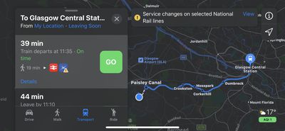
In addition to regular public transport information, Apple now highlights several regions in which transit information is displayed in real time. These include the whole of Canada, England, the Netherlands, Scotland, Sweden and Wales, as well as 32 metropolitan regions in Australia, China, and the United States.
Meanwhile, support for Apple's "Nearby" feature has been expanded and is now available in the following 31 countries: Argentina, Belgium, Brazil, Croatia, Czech Republic, El Salvador, Greece, Hong Kong, Hungary, India, Indonesia, Ireland, Italy, Macau, Mexico, Montserrat, New Zealand, Norway, Philippines, Poland, Portugal, Republic of Korea, Russia, Saudi Arabia, Singapore, South Africa, Spain, Taiwan, Thailand, Turkey and Vietnam.
Turn-by-turn navigation now also covers Aland Islands, Anguilla, Aruba, Bahamas, Bermuda, Bonaire, British Virgin Islands, Cayman Islands, Chile, China, Dominica, Dominican Republic, Greece, Grenada, Haiti, Jamaica, Martinique, Montserrat, Palestinian Territories, St. Barth, St. Kitts and Nevis, St. Lucia, St. Vincent and the Grenadines, Turks and Caicos Islands and Uruguay.
Elsewhere, Apple has added 45 more airports where indoor maps are available, including Madrid, Prague, and Istanbul airport. Apple has also listed the 10 U.S. cities where Look Around is available: Boston, Chicago, Houston, Las Vegas, Los Angeles, New York, Oahu, Philadelphia, San Francisco and Washington.
In many of cases, these features have been available in the listed locations for a few weeks, but Apple is often slow to confirm with updates to its Feature Availability page.